
Key Takeaways
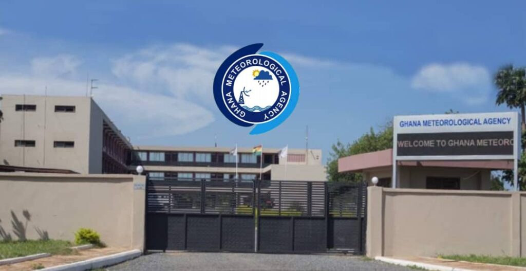
- Ghana Meteorological Agency has issued a storm warning for Upper East, North East, Northern, Upper West and Savannah regions.
- Heavy rain, thunderstorms and gusty winds are forecast to move westward through the day.
- Potential disruptions include flooding, road closures and agricultural losses.
- Authorities advise residents to secure property and avoid low‑lying areas.
The Ghana Meteorological Agency released an alert indicating that a moderate to heavy rainstorm will sweep across the north‑eastern corridor of the country, advancing toward the western zones as daylight progresses. The warning encompasses the Upper East, North East, Northern, Upper West and Savannah regions, where meteorological models predict intensified precipitation and wind activity.
Forecasters project a gradient of rainfall intensity, with thunderstorms concentrated in the north‑eastern sectors and diminishing but still significant showers as the system traverses the interior. Emergency services have been placed on standby to respond to flood‑related incidents.
Meteorological Context
Seasonal patterns place the northern belt of Ghana in the path of moist air masses drawn from the Gulf of Guinea during the June‑July period. Satellite observations this year show an anomalously deep convective cell forming over the Sahel, a condition linked to elevated sea‑surface temperatures in the Atlantic. The cell’s trajectory aligns with historical tracks that have produced severe thunderstorms in the region.
Climatologists note that the current system exhibits higher wind shear than typical early‑season storms, a factor that can intensify thunderstorm development. Comparative analysis with the 2019 and 2022 events reveals a modest increase in peak rainfall rates, a trend some researchers attribute to shifting climate dynamics.
Potential Impacts
Intense rainfall over the Savannah and Upper West areas threatens flash flooding in river basins that already experience seasonal overflow. Agricultural plots, particularly those cultivating millet and sorghum, face heightened risk of soil erosion and crop loss. Infrastructure assessments indicate that several unpaved roads lack adequate drainage, raising the likelihood of transport disruptions.
Urban centers such as Tamale may encounter localized water accumulation, complicating mobility for emergency responders. Historical records from the 2015 event show that similar wind gusts caused damage to roofing structures, a scenario that could recur if mitigation measures are not implemented promptly.
Response Measures
Local authorities have activated community alert systems, broadcasting safety instructions via radio and mobile networks. The National Disaster Management Organization has pre‑positioned sandbags and rescue equipment in vulnerable districts, a practice refined after the 2020 floods.
Health officials are monitoring vector‑borne disease risks, as standing water creates breeding grounds for mosquitoes. Public health advisories recommend prophylactic measures to reduce the incidence of malaria and water‑related illnesses during the storm’s passage.
Looking Ahead
Model projections suggest that the storm will exit the Upper West region by late evening, leaving residual showers across the central corridor. Post‑event assessments will focus on quantifying hydrological impacts and reviewing the efficacy of early‑warning protocols.
Long‑term strategies under discussion include upgrading drainage infrastructure and integrating climate‑resilient agricultural practices to mitigate future storm consequences.




0 Comments
Leave a Comment
No comments yet. Be the first to share your thoughts!